

Forensic Scene Mapping & 3D Documentation
Forensic Mapping & Scene Documentation
Gerald McDevitt performs forensic mapping to capture precise spatial data from crash scenes, crime scenes, and complex environments. This process documents physical evidence, positions, elevations, and scene geometry before conditions change.
All mapping is conducted using accepted scientific methods, with each measurement documented so it can be checked and repeated. The resulting data forms the foundation for reconstruction analysis and is prepared for use in legal proceedings.
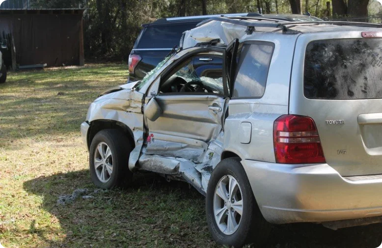
Accurate Scene Documentation for Attorneys, Insurers & Investigators
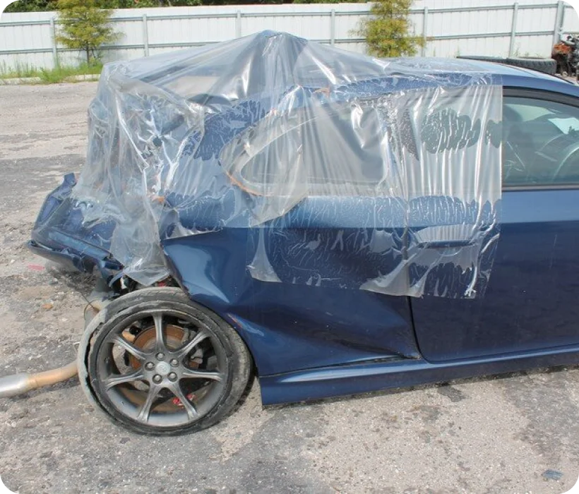
Forensic mapping preserves scene evidence that may otherwise be lost to time, traffic, or environmental change. Gerald McDevitt documents roadway geometry, vehicle positions, impact locations, and surrounding conditions by direct measurement. That data allows the scene to be analyzed long after the incident, with conclusions traceable to measurements that can be examined on cross-examination.
KEY AREAS OF ANALYSIS
- Vehicle position and final rest analysis
- Time-distance and sequence analysis
- Commercial & emergency vehicle incident documentation
- 3D scene documentation and spatial measurement
- Roadway geometry and surface conditions
- Evidence location mapping (debris, marks, impact points)
TYPES OF MAPPING APPLICATIONS

Crash Scene Mapping
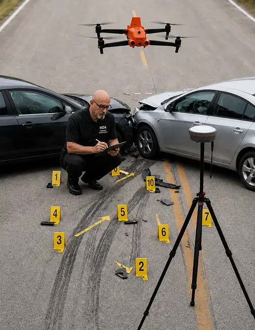
Crash scenes are documented through precise measurement of roadway evidence, vehicle positions, debris fields, and impact locations. This data allows Gerald McDevitt to reconstruct vehicle paths, speeds, and collision dynamics using reliable, measurable inputs.

Large-Scale & Complex Scene Documentation
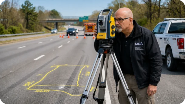
Complex scenes such as highways, intersections, and multi-vehicle incidents require a combination of ground-based and aerial data collection. Multiple technologies are combined so the full scene is covered and documented.
Crime Scene Mapping
Crime scene mapping involves detailed documentation of locations where physical evidence is present, including spatial relationships and pattern evidence. Accurate mapping supports trajectory analysis, reconstruction, and the development of clear visual presentations for court.

Photogrammetry-Based Reconstruction
Photogrammetry uses high-resolution digital images to extract measurements and generate 3D models when direct scene measurements are not available. By establishing spatial relationships between known reference points, reliable data is produced for reconstruction and analysis.
Integrated Data for Reconstruction
Forensic mapping is not limited to a single tool or method. Gerald McDevitt integrates data from multiple sources, including handheld LiDAR scanning, GNSS positioning, total station measurements, and photogrammetry. Each source is cross-referenced against the others, and any disagreement between them is resolved and documented rather than averaged away.
Mapping Technology & Equipment
Gerald McDevitt owns and operates the equipment used on each case. The instruments are selected to suit the scene, and the measurements they produce are documented so they can be checked.
- Recon3D (iOS-based LiDAR) for 3D documentation of vehicles, rooms, and limited-range scene elements
- Emlid Reach RS3 GNSS for positioning, with PPK post-processing
- Sokkia reflectorless total station for direct scene measurement
- Autel EVO II Pro RTK V3 drone for aerial photogrammetry
- High-resolution digital cameras for image-based analysis
- Racelogic VBOX GPS data logger for speed and motion data
Prepared for Legal Proceedings
All mapping outputs are prepared for use in deposition and trial, including scaled diagrams, 3D visualizations, and structured reports. Information is presented clearly to assist attorneys, judges, and juries in understanding complex spatial relationships and reconstruction findings.
All work is developed to meet evidentiary standards, including Daubert and Frye requirements where applicable.
Request Forensic Mapping Support for Your Case
Accurate scene documentation is critical to understanding how an incident occurred. Early involvement means key evidence is measured and preserved before conditions change.